[ad_1]
Forecasters continue to closely track the potential for a messy winter storm on the busy travel days leading up to Christmas, but the latest updates for New Jersey favor heavy rain and high winds, rather than snow and ice.
“While we are still 5 days away from the storm, the overall pattern is becoming more conducive at least toward an inland storm track rather than coastal, and it is looking more likely that most of our area will see a minimal amount of wintry precipitation,” the National Weather Service said in its Sunday morning forecast discussion.
The Poconos in Pennsylvania could see a few inches of snow, but for New Jersey “an inch or two of rain and some gusty winds will be the main story,” the weather service said. There’s still a chance for a brief shot of snow and ice along the I-95 corridor before a change to rain.
The National Weather Service is expecting the storm to be significant on the East Coast, but cannot yet say how much it will affect New Jersey or if it will lead to snow accumulation in the state.
“We are seeing increased confidence that there is going to be a storm for the Thursday to Friday time frame,” Cameron Wunderlin, a meteorologist for the National Weather Service, said Sunday morning. “It looks like it is going to be a substantial storm. Now that doesn’t mean substantial for New Jersey, but for the eastern part of the United States in general.
One thing the agency can predict at this time is strong winds throughout the state.
“There is a chance for some blustery winds and a pretty good gust,” Wunderlin said.
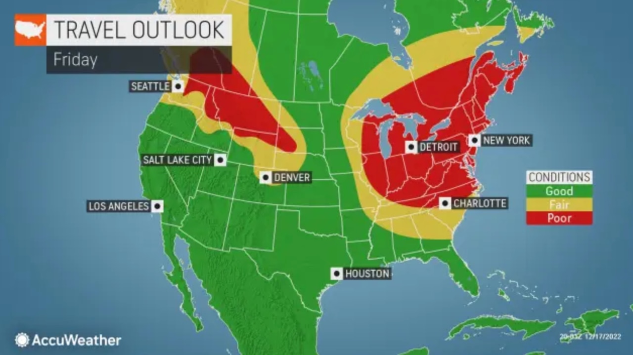
AccuWeather.com’s forecast also notes that some snow or a wintry mix remain possible for the I-95 corridor, depending on the path the storm takes.
“The exact track of the storm will dictate which areas receive heavy snow versus heavy rain and the most significant impacts, but people and businesses in the eastern U.S., especially those traveling, should be extra alert,” AccuWeather Chief Meteorologist Jon Porter said.
The rain and high winds could still combine for a messy weekend of travel in the Garden State, and for those traveling from parts of New England and the central U.S. that could still see significant snow from the storm.
“This is the type of setup that can lead to ground blizzards in parts of the central states,” Porter said. “Major East Coast storms over the decades have occurred in this type of setup, bringing the risk for heavy snow and rain, gusty winds, coastal flooding, severe thunderstorms and even tornadoes on the southern side of the storm.”

A storm expected to hit New Jersey ahead of Christmas is now more likely to be heavy rain and high wind, though the forecast could shift again in the coming days. A track closer to the coast would mean a greater potential for snow. Temperatures will plunge by Christmas Day.
After the storm departs, Arctic air is expected to plunge south into New Jersey and send temperatures plummeting Friday night.
Expect “highs perhaps only in the 20s even near the coast, lows in the teens, accompanied by brisk winds for the holiday weekend,” the weather service said. “The weather will likely be dry with a fair amount of sun otherwise, but it will sure feel like winter on Christmas Day despite the lack of snow cover over our region.”
“After the storm’s passing, it is going to be generally cold for this time of year,” Wunderlin said.

A storm expected to hit New Jersey ahead of Christmas is now more likely to be heavy rain and high wind, though the forecast could shift again in the coming days. A track closer to the coast would mean a greater potential for snow. Temperatures will plunge by Christmas Day.
Ahead of the storm Thursday and Friday, the forecast calls for relatively quiet weather with high temperatures in the upper 30s and low 40s on Monday and Tuesday.
Wednesday will be another “seasonably cool day with high temperatures trending a few degrees higher,” the weather service said. “With very light winds and sunshine, overall it will be a pleasant day, and the proverbial ‘calm before the storm.’”
Our journalism needs your support. Please subscribe today to NJ.com.
Nicolas Fernandes may be reached at nfernandes@njadvancemedia.com
[ad_2]
Source link